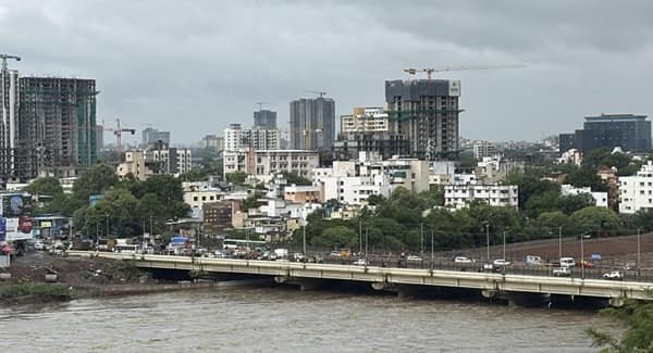
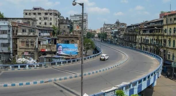
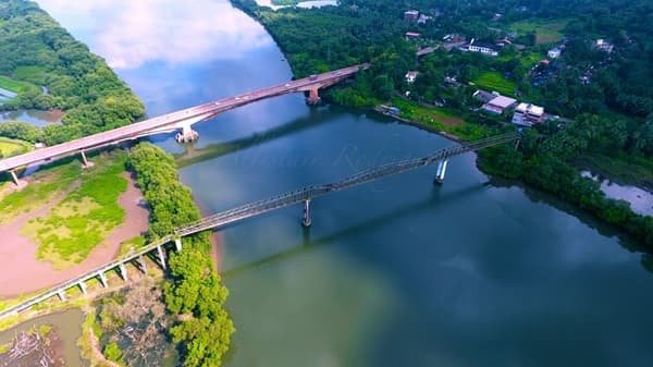
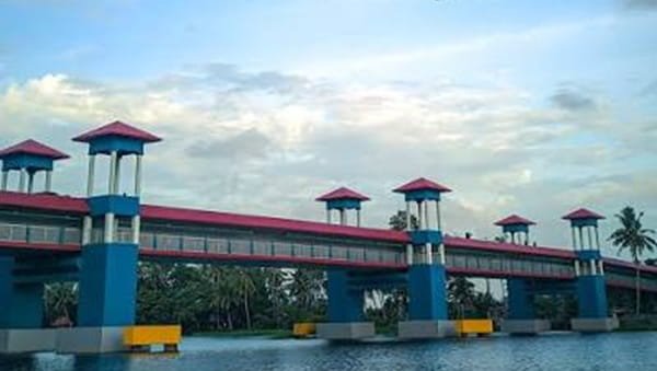
Ekmi Ghat Bridge is an important road crossing on the Laheriasarai-Samastipur corridor in Darbhanga district, Bihar. Located only a few kilometres from the central Darbhanga-Laheriasarai urban area, the bridge carries local and regional traffic across the river system at Ekmi Ghat and serves as a familiar landmark for people travelling towards Ojhaul, Bahadurpur, Samastipur and the Ekmi-Sobhan bypass.
Ekmi Ghat is also a major flood-monitoring location. Central Water Commission records classify the gauge here under the Adhwara Group of rivers, while Bihar water-resource records refer to the Khiroi channel and its embankment near Ekmi Ghat. This reflects the interconnected river and drainage system of the Darbhanga floodplain rather than two unrelated locations.
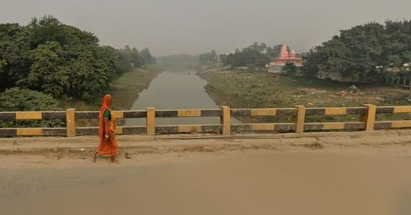
The bridge is primarily a functional road crossing rather than a tourist structure. Its importance comes from daily connectivity, access to Laheriasarai and the wider Darbhanga road network, and its position close to the Ekmi-Sobhan link towards NH-27.
Quick Overview of Ekmi Ghat Bridge
| Particular | Details |
| Name | Ekmi Ghat Bridge |
| Location | Ekmi Ghat, Laheriasarai, Darbhanga district, Bihar |
| Structure Type | Urban/regional road bridge |
| River System | Adhwara Group; Khiroi channel is also identified near Ekmi Ghat in Bihar records |
| Main Road | Laheriasarai-Samastipur Road / SH-50 corridor |
| Main Connection | Laheriasarai-Darbhanga side with Ojhaul, Bahadurpur and Samastipur direction |
| Important Link Road | Ekmi-Sobhan road towards NH-27 |
| Nearby Railhead | Laheriasarai Railway Station |
| Nearby Landmark | Mithila Minority Dental College & Hospital, Ekmi Ghat |
| Public Transport | Local buses, autos, shared vehicles, taxis and private vehicles |
| Known For | Road connectivity and flood-water monitoring at Ekmi Ghat |
| Current Role | Active road crossing and regional traffic point |
Where is Ekmi Ghat Bridge Located?
Ekmi Ghat Bridge is located on the southern side of the Laheriasarai-Darbhanga urban area along the road leading towards Samastipur. Government and institutional records place Ekmi Ghat on the Laheriasarai-Samastipur road, with the location roughly a few kilometres from the main Darbhanga urban area.
The bridge area lies close to Ojhaul and Bahadurpur-side settlements. Laheriasarai is the principal nearby urban centre, while the wider road network continues south towards Samastipur. Ekmi Ghat has therefore developed as both a transport reference point and a river-monitoring location.
Ekmi Ghat Bridge Route and Road Connectivity
The bridge forms part of the wider road network linking Laheriasarai with southern Darbhanga and Samastipur-side routes.
- Laheriasarai: Main urban centre immediately north of the bridge area.
- Darbhanga city: Reached through Laheriasarai and the central city road network.
- Ojhaul: Nearby settlement associated with the bridge and Ekmi Ghat area.
- Bahadurpur: Important block and residential area around the southern side of Darbhanga.
- Samastipur direction: Reached southward through the SH-50 corridor.
- Shobhan and NH-27: Reached through the Ekmi-Sobhan bypass/link road.
- Lohia Chowk and Karpuri Chowk: Important city-side junctions on the wider Laheriasarai-Ekmi approach.
Why is Ekmi Ghat Bridge Important?
Ekmi Ghat Bridge is important because it carries everyday traffic on one of the recognised routes out of Laheriasarai towards southern Darbhanga district and Samastipur. The bridge is used by local residents, commuters, small commercial vehicles and through traffic.
Its importance increased further with the development of the Ekmi-Sobhan road. Government audit records describe a 9.641-km road beginning from the Ekmi Ghat side of the Darbhanga-Samastipur Road and running towards Shobhan along the western embankment of the Khiroi river system. Shobhan connects with NH-27, formerly numbered NH-57.
This gives the Ekmi area an additional role as a link between the city-side road network and the national highway corridor west of Darbhanga.
Traffic Conditions at Ekmi Ghat Bridge
Ekmi Ghat Bridge carries mixed local and regional traffic. Two-wheelers, autos, cars, buses and goods vehicles all use the surrounding road network, particularly during daytime travel periods.
Traffic is generally heavier during morning and evening commuting hours and when movement builds around Ekmi Chowk or the Laheriasarai approaches. Local market activity and roadside stopping can also reduce the effective width available to moving vehicles.
Road users should take additional care during the monsoon. High river levels, heavy rain and local waterlogging can affect approach roads even when the main bridge remains open. A June 2026 accident reported on the Darbhanga-Samastipur road at Ekmi Ghat Bridge also underlines the need for controlled speed and careful driving on the crossing.
Ekmi Ghat and the Adhwara-Khiroi River System
Ekmi Ghat is an established river-level observation point in Darbhanga. Central Water Commission reports list Ekmi Ghat under the Adhwara Group of rivers, and Bihar flood bulletins continue to publish gauge readings for the location.
The river naming around Ekmi can appear confusing because the waterways of north Bihar form an interconnected system. Bihar Water Resources Department records identify anti-erosion work on the right bank of the Khiroi near Ekmi Ghat, while other official flood records place the Ekmi gauge under the Adhwara system.
For travellers, the practical point is that the bridge lies in a flood-sensitive river corridor. During periods of prolonged monsoon rain, official flood and traffic advisories are more useful than relying on normal-season road conditions.
Ekmi Ghat Bridge and the Ekmi-Sobhan Road
One of the most useful connections from the bridge area is the Ekmi-Sobhan road. The route was developed to link the Darbhanga-Samastipur Road with Shobhan on the national highway corridor.
Older government records refer to the highway at Shobhan as NH-57. The current national-highway numbering identifies this East-West Corridor section as NH-27. The road gives traffic from the Ekmi side an alternative approach towards NH-27 without travelling through every central-city junction.
History and Regional Role of Ekmi Ghat
Ekmi Ghat has appeared in government flood-control and road records for decades. A 1968 parliamentary record referred to flood-control embankment work extending from Ekmi Ghat towards Jathmalpur, showing the long-standing importance of this location in Darbhanga’s river-management system.
More recent government records treat Ekmi as an established road and river reference point. Publicly accessible official material reviewed for this guide does not provide a dependable construction year or confirmed deck length for the present road bridge, so those figures are better left unstated than estimated.
Today, Ekmi Ghat Bridge functions mainly as a practical urban-edge crossing, serving expanding residential areas and road traffic around Laheriasarai and Bahadurpur.
Public Transport Near Ekmi Ghat Bridge
The Ekmi-Laheriasarai corridor is served by local buses, shared autos, autorickshaws, taxis and other road transport. These services connect the bridge area with Laheriasarai, Darbhanga and surrounding villages.
Laheriasarai Railway Station is the practical nearby railhead for many local passengers. Darbhanga Junction, a larger railway station, is also accessible through the city road network.
For longer road journeys, travellers heading west can use the Ekmi-Sobhan connection towards NH-27, while southbound traffic continues along the Samastipur direction.
Major Landmarks and Places Near Ekmi Ghat Bridge
- Mithila Minority Dental College & Hospital: Well-known institution located at Ekmi Ghat on Samastipur Road.
- Laheriasarai: Major urban and administrative area close to the bridge.
- Ekmi Chowk: Important local junction and route reference point.
- Ekmi-Sobhan Road: Link road connecting the Ekmi side with Shobhan and NH-27.
- Laheriasarai Railway Station: Important nearby suburban and regional rail access point.
- Adhwara-Khiroi river corridor: Flood-sensitive river system associated with the Ekmi Ghat gauge and embankments.
Nearby Areas to Ekmi Ghat Bridge
- Laheriasarai: Main city-side locality near the bridge.
- Ojhaul: Nearby settlement on the Ekmi side.
- Bahadurpur: Large adjoining block and residential area.
- Ekmi: Locality directly associated with the crossing.
- Shobhan: Important NH-27-side junction reached by the Ekmi-Sobhan road.
- Darbhanga: District headquarters and major city reached through Laheriasarai.
FAQs About Ekmi Ghat Bridge Darbhanga
Q. Is the Ekmi Ghat-Shobhan bypass planned for widening?
Yes. Darbhanga district published a Social Impact Assessment notice in late 2025 for the widening and strengthening of the Ekmi Ghat bypass road from the Shobhan side. Project execution and traffic arrangements should be checked against the latest district notices.
Q. Will Darbhanga’s planned elevated road corridor connect with Ekmi Chowk?
Yes. Bihar State Road Development Corporation lists a corridor project from Darbhanga Railway Station towards the Amas-Darbhanga Expressway, with a branch from Karpuri Chowk to Ekmi Chowk via Laheriasarai and Lohia Chowk. This is a separate road-improvement project and not a reconstruction of Ekmi Ghat Bridge itself.